タグ

南極・エイトケン盆地

2 件の記事

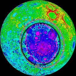
Topographic map of the South Pole–Aitken basin based on Kaguya data. Red represents high elevation, purple represents low elevation. The purple and grey elliptical rings trace the inner and outer walls of the basin. (The black ring is an old artifact of the image.)

南極・エイトケン盆地月最大の衝撃クレーターが明かす月の起源

南極・エイトケン盆地衝撃クレーター嫦娥6号
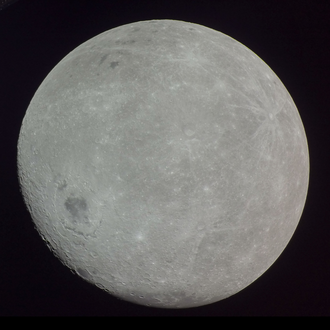
Photograph of the far side of the Moon, with Mare Orientale (center left) and the mare of the crater Apollo (top left) being visible, taken by Orion spacecraft during the Artemis 1 mission.

月の裏側地球から見えない領域の正体と探査の歴史

月の裏側潮汐ロック嫦娥4号嫦娥6号