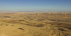
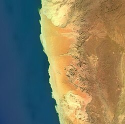
地球の陸地面積の約3分の1を占める乾燥地帯や半乾燥地帯は、降水量が極めて少ないことで定義される特殊な環境です。一般的に、年間の降水量が250mm未満の地域を砂漠と呼びますが、そこには私たちが想像する「灼熱の砂地」だけでなく、極寒の極地砂漠や高地の山岳砂漠など、多様な形態が存在します。植生が乏しいため地表が直接外気にさらされ、特有の侵食プロセスと生命の適応戦略が展開されています。
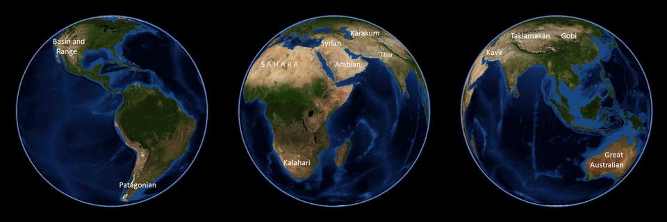
Key Facts
- 定義: 年間降水量が250mm未満の地域。
- 分布: 地球の陸地面積の約3分の1が乾燥・半乾燥地帯に該当する。
- 多様性: 熱帯の砂漠だけでなく、南極や北極などの「寒冷砂漠」も含まれる。
- 水収支: 降水量よりも潜在蒸発散量(蒸発しうる水の量)が上回ることで乾燥が維持される。
- 地質: 激しい温度変化による岩石の破砕と、風による運搬・堆積が地形を形成する。
砂漠の分類と科学的な定義
砂漠を定義する際、単なる降水量だけでなく「潜在蒸発散量」という概念が重要になります。これは、十分な水がある場合に、蒸発と植物の蒸散によって失われる水の総量を指します。例えば、米国アリゾナ州のツーソンでは年間の降水量は約300mmですが、潜在蒸発散量は約2,500mmに達し、降る水の8倍以上の量が蒸発しうる計算になります。
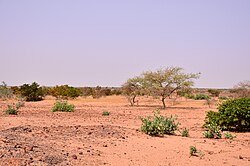
降水量に基づいた詳細な分類では、年間の降水量が25mm未満で季節的なサイクルもない「超乾燥砂漠」、25〜200mmの「乾燥砂漠」、そして200〜500mmの「半乾燥砂漠」に分けられます。特に半乾燥地帯で草地が広がっている場所は「ステップ」と呼ばれ、砂漠の縁辺部に位置することが多いのが特徴です。
特殊な砂漠の形態
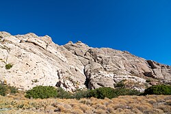
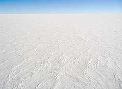
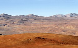
標高3,000メートルを超える高地に形成される「山岳砂漠」は、水分源から遠く離れていることや、山脈の風下(雨影)に位置することで極端な乾燥状態となります。また、南極や北極の氷のない地域に広がる「極地砂漠」は、低温のため蒸発散量は低いものの、降水量が極めて少ないため砂漠に分類されます。
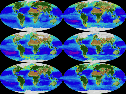
さらに、海洋においても生物密度が極めて低い海域が「海洋砂漠」と呼ばれることがあります。
地形の形成と風化プロセス
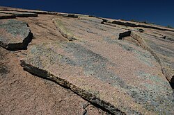
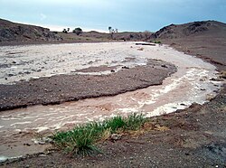
砂漠の景観を形作るのは、激しい温度差による物理的な風化です。昼夜の温度差が20〜30℃に達することもあり、岩石はこの熱膨張と収縮の繰り返しによって砕かれます。稀に降る豪雨は、熱せられた岩石をさらに破砕させ、時に激しいフラッシュフラッド(突発的洪水)を引き起こします。
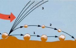
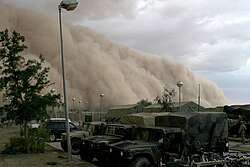
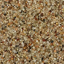
砕かれた岩石や砂は風によって運ばれ、その粒径に応じて異なる挙動を示します。小さな粒子は空気中に浮遊し、砂嵐や塵嵐(ダストストーム)となって遠方まで運ばれます。一方、やや大きな砂粒は地表を跳ねるように移動(塩砕)したり、転がったり(クリープ)しながら移動し、障害物に衝突して表面を研磨します。
砂漠に見られる特徴的な地形
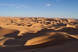
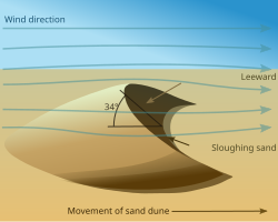
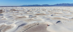
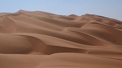
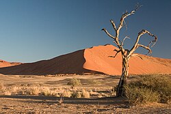
- 砂丘: 風によって運ばれた砂が堆積してできた丘。風向きによって三日月型のバルハン砂丘などが形成されます。
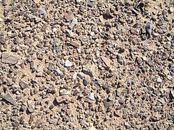
- 砂漠舗装: 細かい粒子が風で飛ばされ、表面に滑らかな石が密集して敷き詰められた平原。
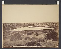
- 塩湖・塩原: 一時的な湖が蒸発し、塩分が結晶化して残った白い平原。
- オアシス: 地下水脈や帯水層から水が湧き出している場所。
過酷な環境への生物学的適応
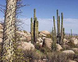
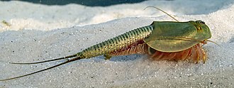
砂漠に生きる生物は、水分の確保と体温調節のために高度な進化を遂げています。植物(乾生植物)は、葉を小さくしたり棘に変えたりして蒸散を抑え、厚いクチクラ層で水分を保護しています。また、深い根を張って地下水を吸収するものや、雨が降った直後に急速に開花し、数週間でライフサイクルを終える一年草も存在します。
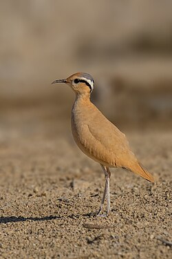
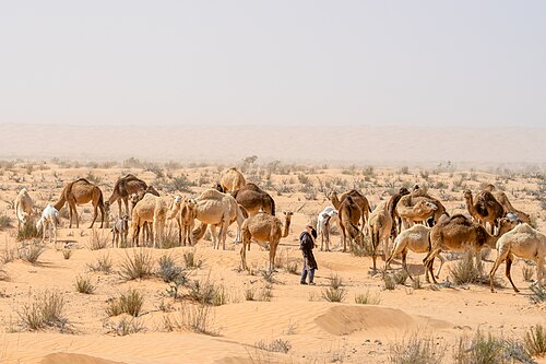
動物たちは、日中の酷暑を避けるために夜行性となり、地下や日陰で過ごします。水分を効率的に保持し、尿を濃縮させる能力を持つ種が多く、一部の生物は乾燥期に休眠状態で耐え、雨が降った瞬間に活動・繁殖を開始します。
爬虫類の戦略
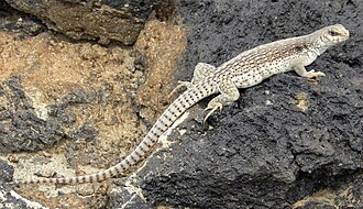
変温動物である爬虫類は、熱帯砂漠に適応していますが、極端な高温(45〜50℃)では生存できないため、日中は避難し、夜間に地表の余熱を利用して活動します。また、砂地を効率的に移動するために、側方へ移動する特殊な歩法を発達させたヘビ(サイドワインダーなど)も存在します。
人間活動と砂漠の利用
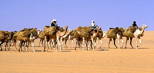
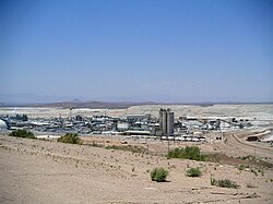
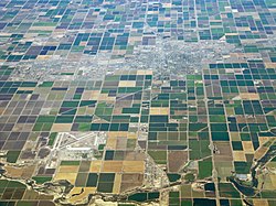
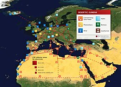
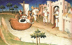
歴史的に砂漠は、塩の交易路や軍事的な要衝として重要な役割を果たしてきました。現代では、鉱物資源の採掘や、広大な日照時間を活かした太陽光発電の拠点としての活用が進んでいます。また、灌漑技術を用いることで、一部の砂漠地域では大規模な農業が行われています。
地球外の砂漠
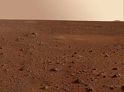
砂漠のような環境は地球以外にも存在します。火星では、地球の多くの砂漠を上回る規模の砂の海が広がっており、三日月型の砂丘や、地球の砂漠に見られる「砂漠ニス(岩石表面の薄い皮膜)」に似た物質が確認されています。また、土星の衛星タイタンや金星にも、液体状の水が存在しない乾燥した表面が広がっています。
主要な砂漠の一覧
| 順位 | 砂漠名 | 所在地 | 面積 (km²) |
|---|---|---|---|
| 1 | 南極砂漠 | 南極 | 14,200,000 |
| 2 | 北極砂漠 | 北極圏 | 13,900,000 |
| 3 | サハラ砂漠 | アフリカ | 9,200,000 |
| 4 | グレート・オーストラリア砂漠 | オーストラリア | 2,700,000 |
| 5 | アラビア砂漠 | 中東 | 2,330,000 |
| 6 | ゴビ砂漠 | アジア | 1,295,000 |
| 7 | カラハリ砂漠 | アフリカ | 900,000 |
| 8 | パタゴニア砂漠 | 南アメリカ | 673,000 |
| 9 | シリア砂漠 | 中東 | 500,000 |
| 10 | グレートベースン砂漠 | 北アメリカ | 490,000 |
Frequently Asked Questions
砂漠とは具体的にどのような場所を指しますか?
一般的に、年間の降水量が250mm未満で、植生が乏しく、外部からの水供給がない限り河川が干上がる地域を指します。単に暑い場所だけでなく、極地のような非常に寒い地域も含まれます。
なぜ砂漠では昼夜の温度差が激しいのですか?
雲が少なく日射が直接地表に届くため日中は急激に加熱されますが、夜になると遮るものがなく、蓄えられた熱が宇宙空間へ急速に放射されるため、温度が急降下します。
砂嵐と塵嵐(ダストストーム)の違いは何ですか?
塵嵐は非常に細かい粒子が広範囲に舞い上がる現象です。一方、砂嵐はより強い風によって、より重い砂粒(直径約0.5mmまで)が巻き上げられる現象を指し、砂粒は地表近くを流体のように移動します。
砂漠の植物はどうやって生き延びているのですか?
葉を小さくしたり棘に変えたりして水分の蒸発を防ぐほか、深い根で地下水を吸収したり、雨が降った短期間にのみ急速に成長・繁殖する戦略をとることで、極端な乾燥に適応しています。
地球以外にも砂漠はありますか?
はい。火星には地球の多くの砂漠より広い砂の海があり、三日月型の砂丘が形成されています。また、土星の衛星タイタンや金星にも、液体の水が存在しない砂漠のような表面が見られます。
References
- "desert | National Geographic Society". education.nationalgeographic.org. Retrieved 2022-12-26.
- Harper, Douglas (2012). "Desert". Online Etymology Dictionary. Retrieved 2013-05-12.
- "Desert". The Free Dictionary. Farlex. Retrieved 2013-05-12.
- "Desert Island". The Free Dictionary. Farlex. Retrieved 2013-05-12.
- Meinig, Donald W. (1993). The Shaping of America: A Geographical Perspective on 500 Years of History, Volume 2: Continental America, 1800–1867. Yale University Press. p. 76. .
- "What is a desert?". United States Geological Survey. Retrieved 2013-05-23.
- "The World's Largest Deserts". Geology.com. Retrieved 2013-05-12.
- Coakley, J.A.; Holton, J.R. (2002). Curry, J.A. (ed.). Reflectance and albedo, surface in "Encyclopedia of the Atmosphere" (PDF). Academic Press. pp. 1914–1923.
- Marshak (2009). Essentials of Geology, 3rd ed. W.W. Norton & Co. p. 452. .
- "Precipitation and evapotranspiration" (PDF). Routledge. Archived from the original (PDF) on 29 July 2020. Retrieved 19 October 2017.
📸 フォトギャラリー